


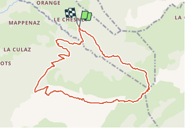

11.8 km | 24 km-effort

User


FREE GPS app for hiking
 SityTrail
IGN / Geographical institutes
SityTrail World
The world is yours!
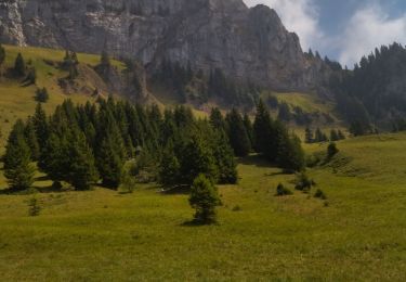
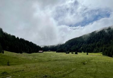
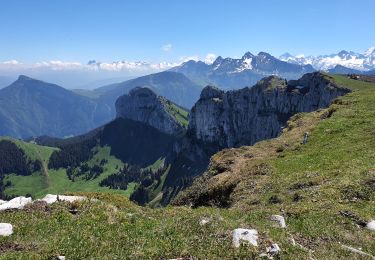
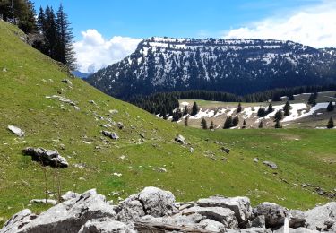
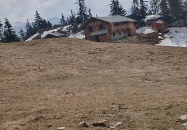
Trail Walking of 12 km to be discovered at Auvergne-Rhône-Alpes, Upper Savoy, La Roche-sur-Foron. This trail is proposed by djeepee74.
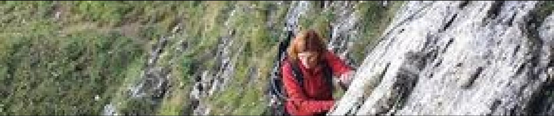
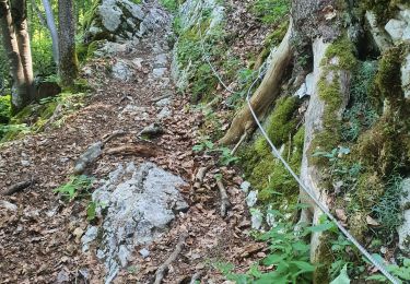
BOUCLE... live enregistré le 20210918 par un groupe avec Karine Daguenet (en photos dans la montée du passage du câble)


Walking

Walking
Walking
Walking
Walking
Orienteering
Walking
Walking
Walking